Final Report: OptiDiag - Improvements in the diagnosis of child undernutrition through assessment of emerging biomarkers of deprived metabolic status and vulnerability
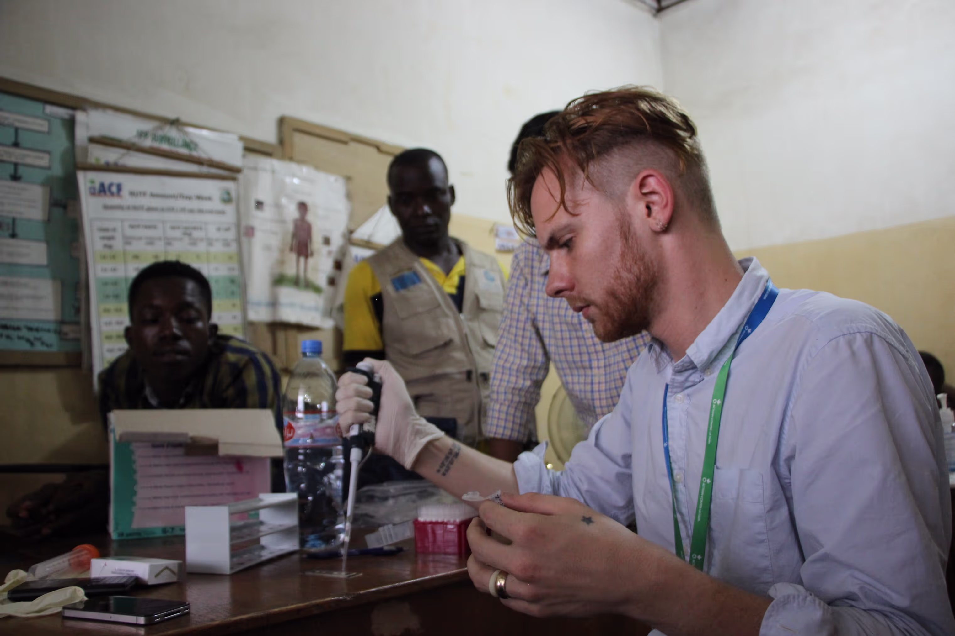
Action Contre La Faim France
07
February
2018
Output type
Report
Location
No items found.
Focus areas
No items found.
Topics
Nutrition
OptiDiag research staff image the D4 assay using the smartphone detector at Redemption Hospital in Monrovia, Liberia.

After deploying OpenAerialMap in mid-2015, the Humanitarian OpenStreetMap Team (HOT) began working with humanitarian response agencies to help incorporate the platform into their activities. To date, imagery has been contributed in Tanzania, Philippines, Nepal, Mongolia, Mexico and many other places across the world. Having such a global framework in place enables imagery to be contributed and sourced from a single location and means that responding organizations can save critical time locating imagery after a sudden onset disaster. Instead of waiting hours, days, or even weeks, value added activities (such as using the imagery to create base maps of affected areas, undertaking rapid damage assessments, and other analyses) can begin immediately; leading to more effective decision making during humanitarian crises.

OpenAerialMap (OAM) is a set of open source tools and an online platform for searching, sharing, and accessing openly licensed satellite and drone imagery. OAM provides a simple, open way to host and access imagery for humanitarian response and disaster preparedness.

The final project report provides information on the methodology, activities, outputs, impact and dissemination of learning.

"

Other resources

explore all resources
Research Snapshot: Exploring refugee compliance to COVID-19 guidelines in Uganda
Final Phase 1 Report: Supertowel
Final Phase 1 Report: Surface Water Management In Refugee Camps
No items found.
Nutrition
No items found.
No items found.
Action Contre La Faim France