
Final Report: Development and testing of a simplified, standardised, Mid Upper Arm Circumference (MUAC) bracelet

Output type
Report
Location
No items found.
Focus areas
No items found.
Topics
Nutrition

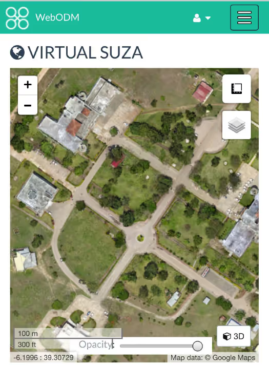
Effective disaster preparedness, monitoring, relief coordination, and damage assessments are predicated on reliable, up-to-date geographic information paired with on-the-ground knowledge. The detailed imagery available from unmanned aerial vehicles well fits this predicate due to high level of spatial detail, flexibility in requisition, and image quality. OpenDroneMap sought to provide fast, accurate, easy-to-use, and scalable processing of aerial drone imagery that is necessary for the next generation of humanitarian response.
The final project report provides information on the methodology, activities, outputs, impact and dissemination of learning.
"
No items found.
Attachments
Other resources
explore all resources
Developing an integrated intervention to address intimate partner violence and psychological distress in Congolese refugee women in Tanzania
Ebola: a crisis of language
HIF Emergency Household Water Filter Challenge: Evaluation Matrix and Report