
Open Drone Map

Project overview
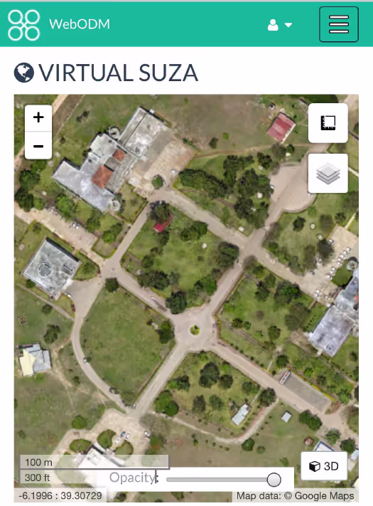
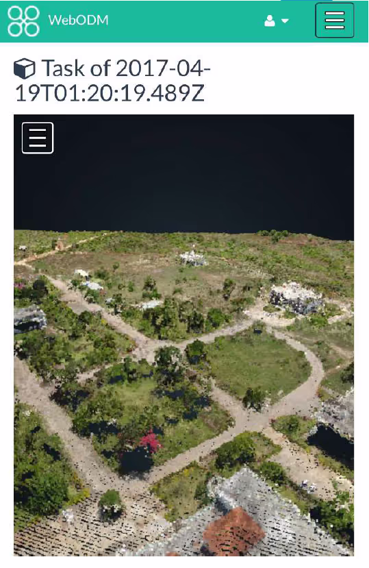
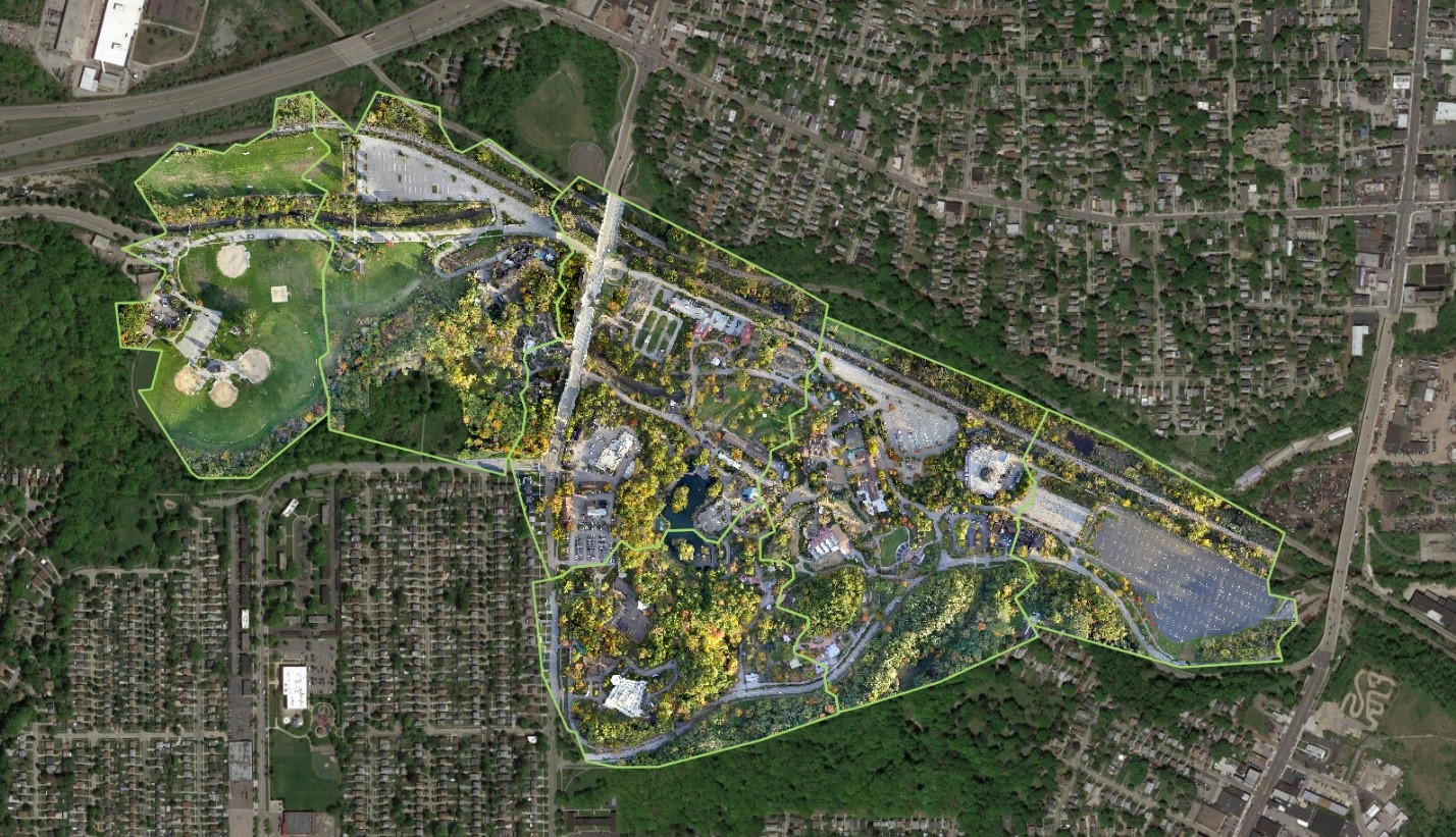
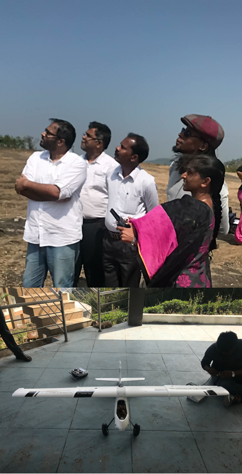
OpenDroneMap (ODM) aims to allow humanitarian users to process UAV imagery and push those products to other platforms and projects for crowdsourcing.
Countries
Indonesia
Tanzania
United States of America
Organisations
ShadowView Foundation
Partners
Cleveland Metroparks; University of Wollongong; Vela Aerial
Area of funding
Humanitarian Innovation
Grant amount
120196.31
Start date
07
January
2016
End date
07
December
2017
Project length (in months)
23.3
Funding calls
No items found.
Focus areas
No items found.
Topics
Human rights and security
Status
Closed
Project solution
This project offers [specific solution or intervention] to tackle [challenge]. By implementing [strategies, tools, or innovations], the project aims to achieve [desired outcomes]. The approach is designed to [specific actions or methods] to bring about meaningful change in [community, region, or issue area].
Expected outcomes
This project aims to achieve [specific outcomes], such as [measurable results, improvements, or changes]. The expected impact includes [benefits to the target community, advancements in research or innovation, or long-term effects]. By the end of the project, we anticipate [specific changes or milestones] that will contribute to [broader goals or objectives].
No items found.
OpenDroneMap (ODM) aims to allow humanitarian users to process UAV imagery and push those products to other platforms and projects for crowdsourcing.
What is the humanitarian need?
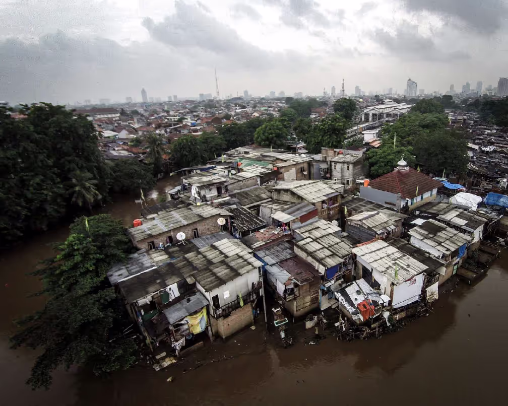
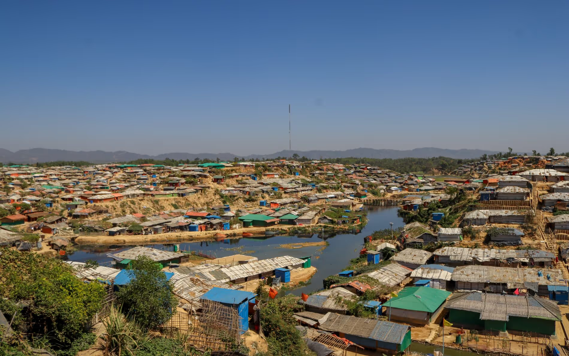
- Rapid assessment of disaster damage to building infrastructure;
- Rapid assessment of powerlines and other electricity infrastructure;
- Identify usable roads and transportation infrastructure;
- Identifying useful areas for humanitarians to set up base camp;
- Road clearance activities;
- Estimating population displacement;
- Identifying temporary shelters and locations to set up new shelters;
- Surveying impact of disaster on agriculture, farmland;
- Search and Rescue actvities after (natural) disasters
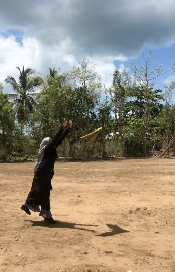
What is the innovative solution?
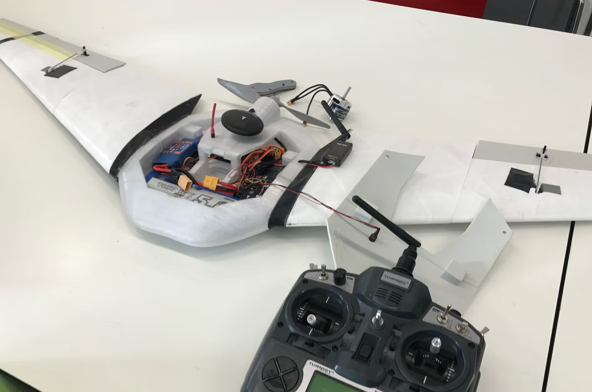
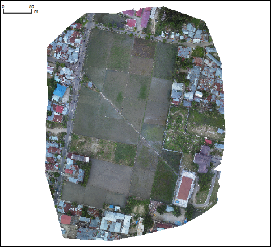
Effective disaster preparedness, monitoring, relief coordination, as well as damage assessments are predicated on reliable, uptodate geographic information that marries well with on ground knowledge. The highly detailed imagery available from unmanned aerial vehicles well fits this predicate due to high level of spatial detail, flexibility in requisition, and image quality.
The detailed, cloud-free view that unmanned aerial vehicles (UAVs) provide is useful for disaster preparedness because it has great potential for field tactics (eg determining the best possible route for a convoy), and is useful for allocation of resources for relief coordination (eg damage assessment and determining most affected areas).
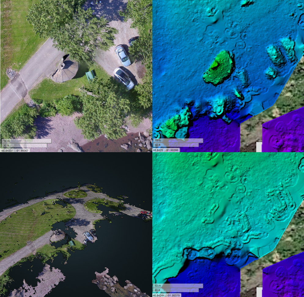
Additionally, processed UAV imagery can result in a unique additional product—three dimensional (3D) point clouds, digital surface models, and digital elevation models—required for natural disaster preparedness planning and societal and infrastructure vulnerability assessments.
What are the expected outcomes?
The outcomes that we seek with OpenDroneMap are faster and more informed decisions for humanitarian relief efforts. We expect that better, more detailed, more relevant, and more flexible mapping efforts as provided by UAVs will aid in those faster and better informed decisions.
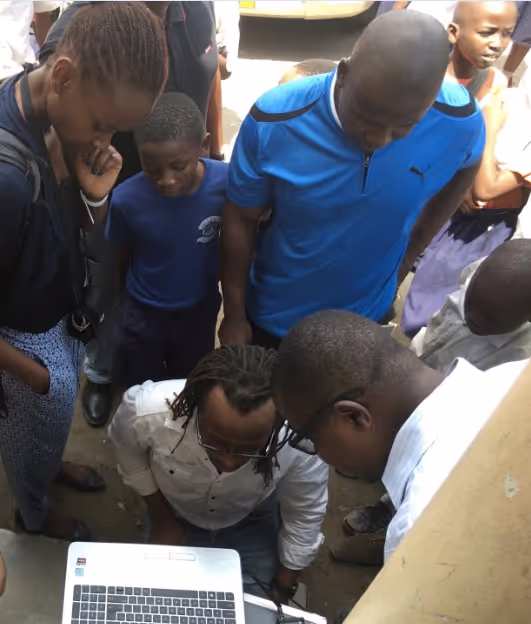
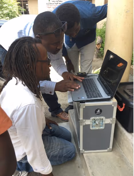
OpenDroneMap will be a platform to produce software and required documentation capable of end-to-end UAV imagery processing (from data to map) suitable for use by humanitarian organisations during disaster planning and relief efforts.
By shortening and simplifying UAV imagery delivery and analysis, OpenDroneMap will support the scalability of crisis mapping and will have the capacity to augment preparedness projects, like MissingMaps, with high resolution imagery.
No items found.


Project delivery & updates
Stay up to date with the latest developments from this project. Here, you will find details on what has been delivered, resources created, and regular updates as the project progresses. Access key documents, reports, and other materials to see how the project is making an impact.
No resources/updates have been published yet for this project. Sign up for our newsletter to stay informed about upcoming publications and updates!
Join our Newsletter
Resources
No items found.
Latest updates
No items found.