
Drones for Good: Drones for Humanitarian Work in Nepal

Project overview
This project aims to improve disaster preparedness and response in Nepal with the use of UAV technology.
Project solution
This project offers [specific solution or intervention] to tackle [challenge]. By implementing [strategies, tools, or innovations], the project aims to achieve [desired outcomes]. The approach is designed to [specific actions or methods] to bring about meaningful change in [community, region, or issue area].
Expected outcomes
This project aims to achieve [specific outcomes], such as [measurable results, improvements, or changes]. The expected impact includes [benefits to the target community, advancements in research or innovation, or long-term effects]. By the end of the project, we anticipate [specific changes or milestones] that will contribute to [broader goals or objectives].
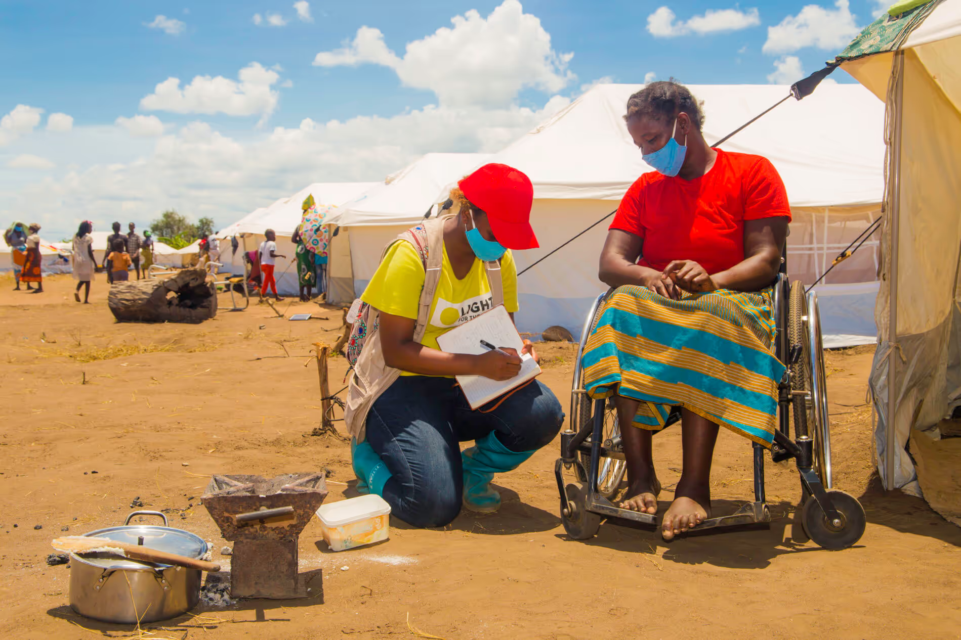
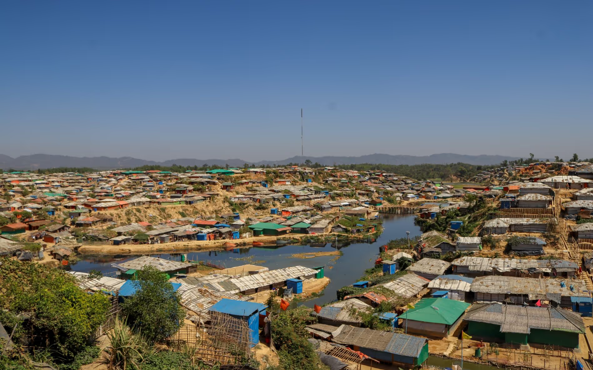
WHAT IS THE HUMANITARIAN NEED?
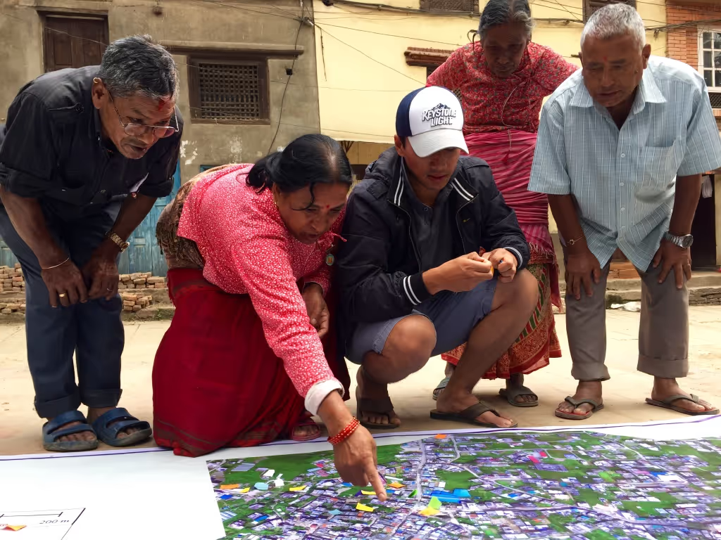
Nepal faces devastation each year from floods, landslides, and avalanches, which cause fatalities and displaced people. Critical for both disasters preparedness and recovery is knowledge about the affected area—where people live, road conditions, locations of clinics and medical facilities—and aerial imagery is one of the most precise and efficient methods for collecting that information.
While low resolution satellite imagery exists, it is rarely of sufficient quality to support responders in critical decision making after disasters. As unmanned aerial vehicles, or UAVs, can collect aerial imagery with far superior resolution, they offer a potential solution, and as a result exploration of community centred approaches to UAVs has begun in Haiti and the Philippines.
WHAT IS THE INNOVATIVE SOLUTION?
The use of UAVs for commercial purposes is already well established. This project expands their use to the humanitarian sphere in Nepal. UAVs will be used to produce maps in areas where aerial imagery is limited. UAVs can provide responders with high-resolution aerial imagery that can inform preparedness, mitigation and response efforts.
This innovation will build on the lessons learned and best practices in community driven approaches to UAVs in order to develop a working model in Nepal. This will enable local communities to rapidly deploy UAVs for disaster preparedness and response.
The use of UAV imagery in Nepal will enable the development of up-to-date base maps to use for disaster preparation and high-resolution imagery post-disaster that will inform decision making by humanitarian responders.
WHAT ARE THE EXPECTED OUTCOMES?
It is expected that this project will improve humanitarian response in Nepal by:
- ensuring better disaster preparedness by providing local communities with the skills to operate UAVs and analyse imagery;
- enable the rapid acquisition of high resolution aerial imagery for disaster preparedness and response;
- facilitate a rapid damage and needs assessment;
- formulate policies for scaling up and integrating UAVs in disaster management.
This project should produce:
- Updated and high-resolution maps of Kathmandu or nearby areas;
- a plan for increasing Nepal’s aerial imagery coverage;
- a corps of local residents trained in drone flying and understanding aerial imagery.


Project delivery & updates
Stay up to date with the latest developments from this project. Here, you will find details on what has been delivered, resources created, and regular updates as the project progresses. Access key documents, reports, and other materials to see how the project is making an impact.