
Immersive technology for public outreach and advocacy


It's a matter of being there
Immersive technologies are a powerful way of bringing us closer to people and places. That could mean virtual tourism, compelling advocacy for important causes and engaging ways to raise funds.
Take 3D models. Architects and conservationists use these to analyse, assess damage or restore structures from a distance. The same models can be valuable for community outreach, education or advocacy.
With the help of immersive technologies such as virtual reality (VR), augmented reality (AR) and mixed reality (MR), the data gathered can create compelling and interactive reconstructions. It could provide the foundations for virtual tourism of sites too remote or dangerous to reach in person.
Here are some thoughts on how that might happen.
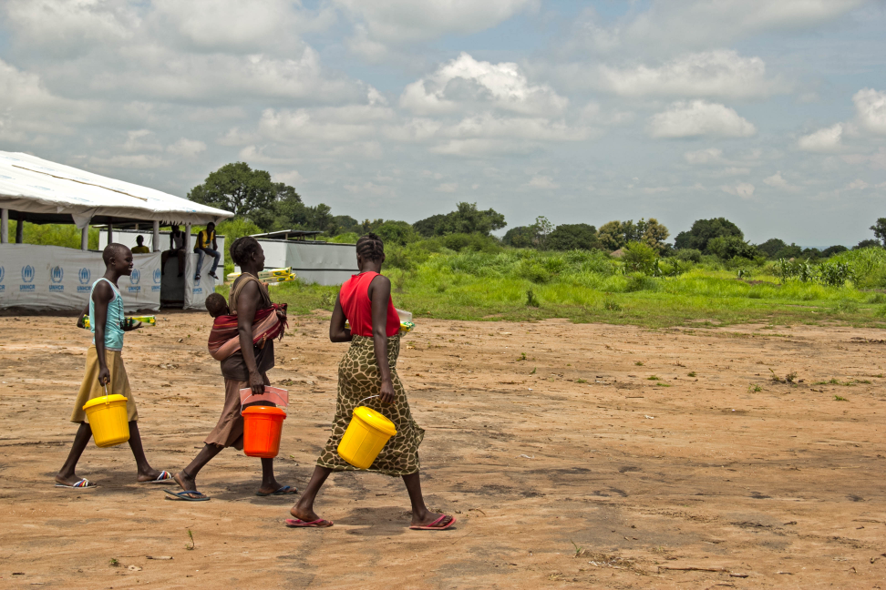
Imagine a field team visits an archeologically important site in a remote location in Mali, threatened by violence. The occupation of northern Mali by armed groups during 2012 is one such example and led to grave damage to Mali's cultural heritage. The city of Timbuktu was particularly affected with damage to 14 of the 16 mausoleums listed on the UNESCO World Heritage List. The door of the mosque Sidi Yahia considered sacred, was torn. The mosques of Djingareyber, Sankoré and Sidi Yahia all suffered from lack of maintenance during the period of occupation.
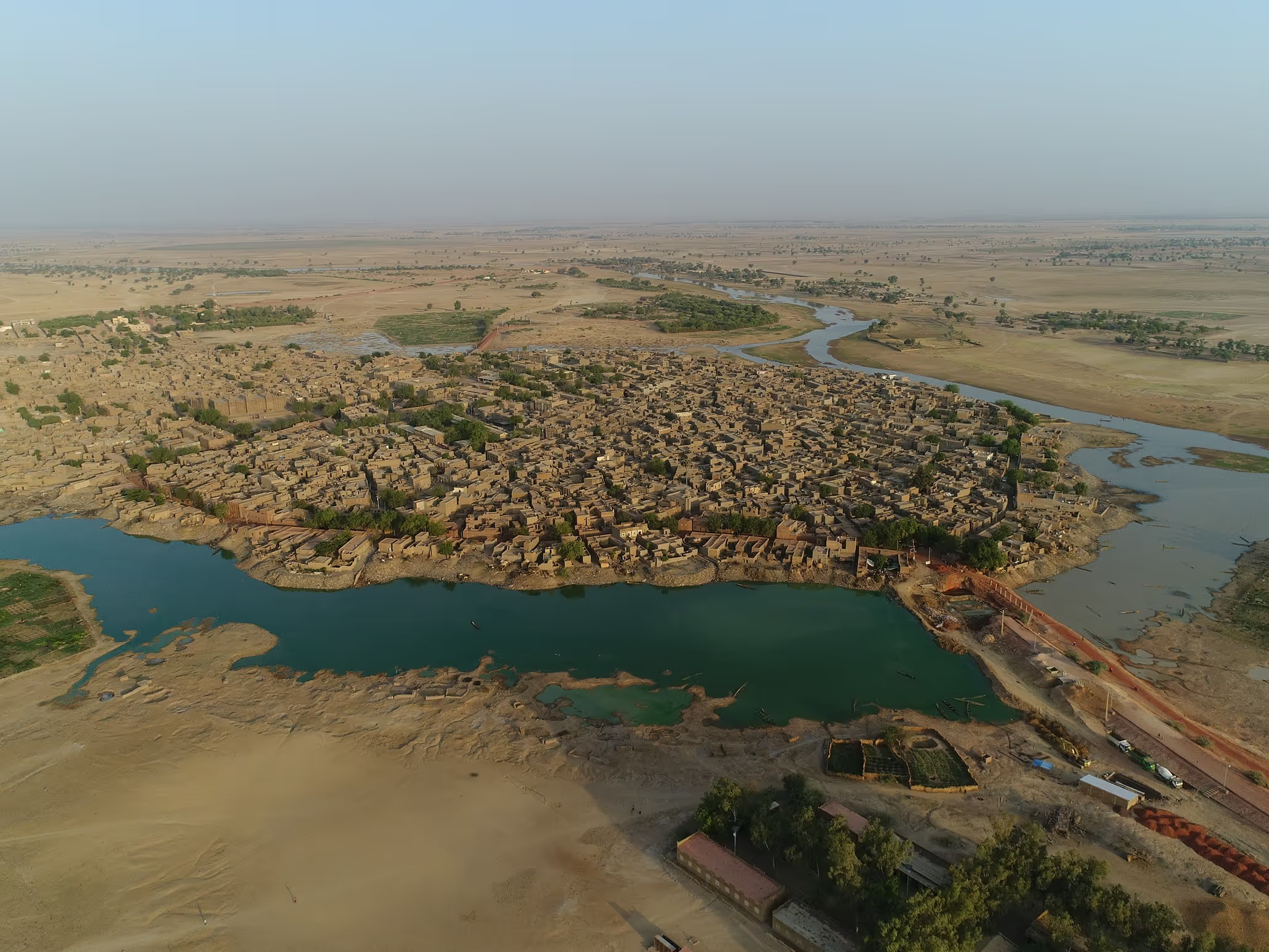
The town of Djenné is another example, but the threat is more from its relative isolation and erosion than physical attacks. Its neighbouring archaeological site Djenné-Djenno is on the UNESCO endangered heritage list.
So what could immersive technologies achieve in such a situation?
Specialist camera operators fly drones above the site to take pictures; meanwhile local teams are trained to document the location continuously using mobile phones.
Using photogrammetry (taking measurements from photographs to track surface points), data captured by the drones is combined to give models that are accurate to within centimetres. Information supplied by people on the ground allows the status of the site to be constantly updated, so any new damage or risks are recorded.
UAV collected aerial data sets can be used to build not only 3D models, which
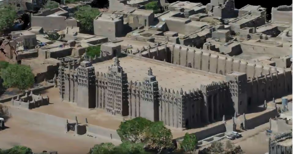
Such data sets can build not only 3D models of what is visible, but be used to assess environmental risk factors – from general erosion to extreme weather events such as flooding. The virtual models can be used for advocacy and education around the world, as well as be used in the monitoring of sites helping to prioritise maintenance or evaluate environmental threats.
Oil and gas, architecture, engineering and construction are reliant on this advanced modelling to explore as well as build environments. But third-sector agencies (NGOs, charities and non-profits) are also turning to AR and VR to drive awareness and engagement.
They are finding their way into project workflows where data is deployed not only to map, but also to visualise – thereby drawing audiences and stakeholders alike in research and results. In the non-profit sector, technologies such as virtual reality can link field teams.
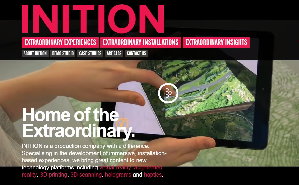
The models can then be accessed anywhere used to create immersive experiences or enabled an augmented visualisation of the site as shown in the image below.
Stay updated
Sign up for our newsletter to receive regular updates on resources, news, and insights like this. Don’t miss out on important information that can help you stay informed and engaged.

Related articles


Explore Elrha
Learn more about our mission, the organisations we support, and the resources we provide to drive research and innovation in humanitarian response.