
How UAV-based surveys can transform topographical analysis and risk assessment


;
As the UK Government report highlighted in their Drone Consultation document:
‘Today, drones are already being used to improve and deliver services in our everyday life. They are proving a springboard for innovation and improvement. Scientists use them to observe habitats, support endangered species and accurately count marine populations. Infrastructure providers from energy to transport are using them for inspections of oil rigs, wind turbines, and pipelines, to rail tracks and road bridges. The Air Accidents Investigation Branch (AAIB) uses drones at crash sites to provide oversight and collect evidence as do the Police and fire brigades. Geographers use them to update maps. Farmers use them to monitor crops and animals. The film, photography and broadcast industries use them extensively. Across these uses, drones are improving safety, saving money and delivering results more quickly than previous methods.’
Could these benefits also apply to applications in remote locations without the backup of a national support network which may include universities, and businesses all using drone or providing support services to drone users? We believe that the answer in the context of heritage stewardship is yes. However in the case of this research and in discussions with our partners we have seen much wider opportunities for the use of aerial based systems, for making much better use of scarce development resources; to improve risk management and resilience of communities.
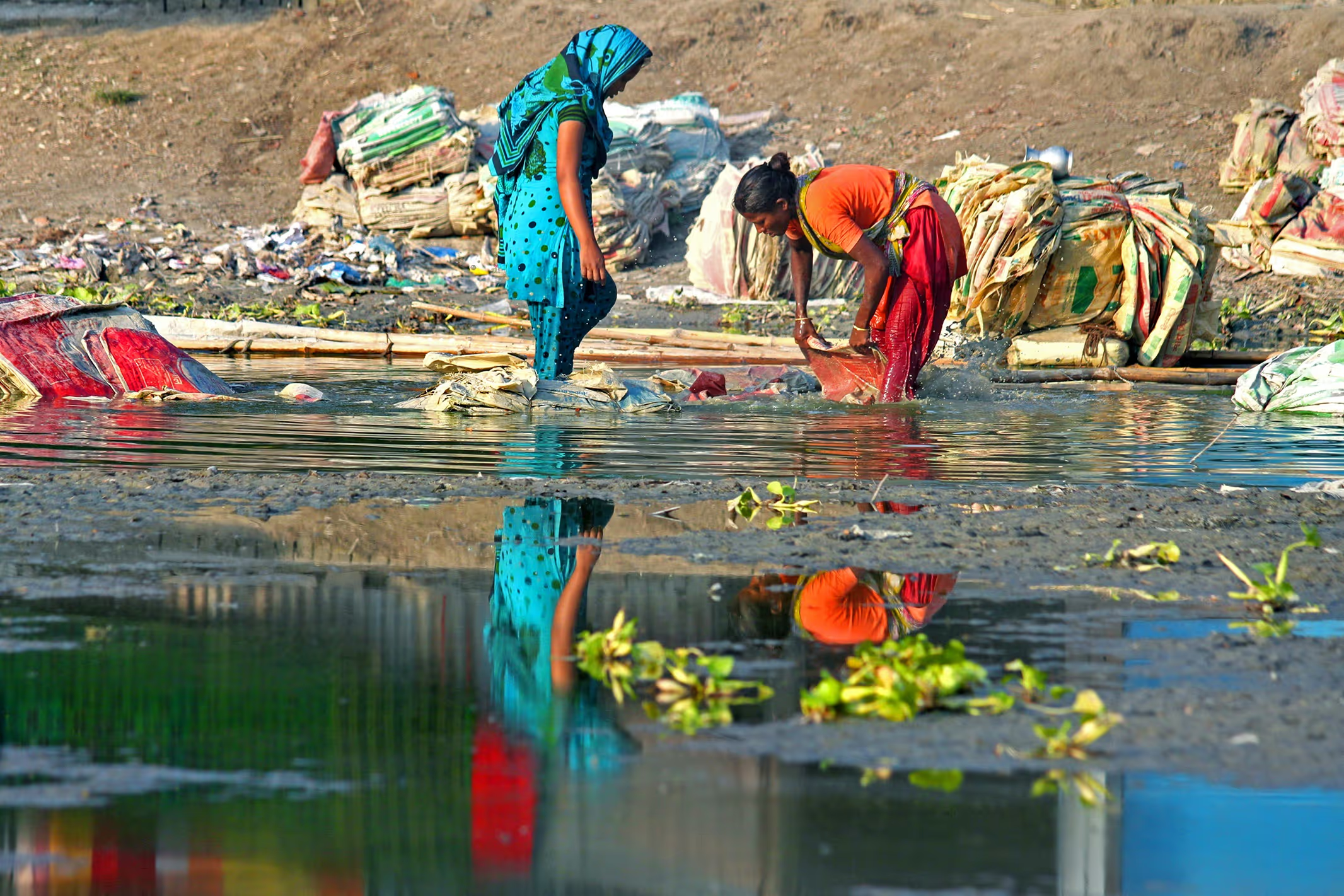
Historically satellite imaging has been used to assess flood risk. One such example was the identification of flood risk hazard zones in Dhaka. Satellite-derived flood maps from 1988 to 2009 were used to construct a flood-affected frequency map of the study area. Similarly, a series of flood depth maps were used to generate a flood damage map for flood depth data.
A flood hazard map was then developed by considering both the flood-affected frequency and flood depth data, simultaneously using a 2-D ranking matrix. The final flood hazard map was then combined with population and housing data to calculate the flood exposure for these two elements. The analysis revealed that 23% of the population is located in low- to high hazard zones, while 25% of human settlements are located in different flood hazard zones.
Useful though it was, it was an expensive and time consuming approach, and both factors make it difficult to use in a humanitarian setting where the premium is on an agile response, highly localised and cost effective.
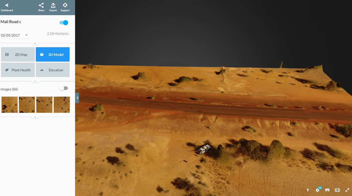
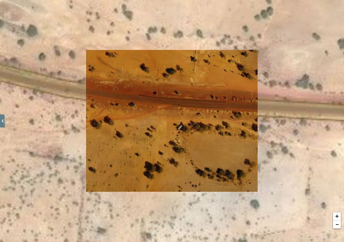
We have been working with a team at Northumbria University, Mark Allan and Bradley Sparkes to explore how 3D mapping has been used to assess risk in other settings. The example below shows how such data can be rapidly collected by automated aerial surveys using web based applications such as Drone Deploy.
The approach being trialled in this project could create the data for a much more accurate and timely approach to assessing risk.
Mark Allan and Bradley Sparkes have shown how 3D modelling techniques can be used in remote mountainous environments for the quantification of landslide magnitude, frequency and spatial distribution. Knowledge of the statistical distribution (i.e. magnitude-frequency relationship) of landslides resolves their probabilistic nature, leading to a better understanding of the hazard they pose in mountainous environments.
In the UK the use of UAVs and laser based survey techniques have been used to monitor landslide activity along one of Scotland’s busiest roads up on its West coast which is regularly forced to close following heavy rainfall because of landslide (debris flow) activity.
Current landslide inventories are thought to underestimate the likelihood of small-magnitude landslides owing, in part, to the difficulty associated with high-resolution monitoring as traditional survey technologies such as LiDAR are associated with high costs and pose significant logistical challenges when operating in remote environments.
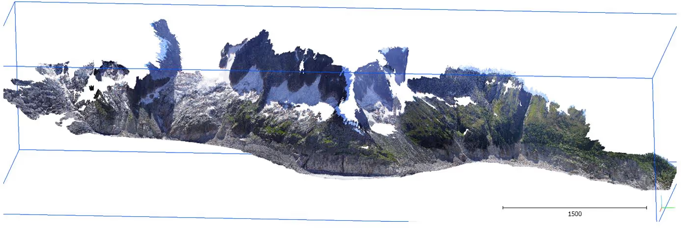
New photogrammetric approaches present new opportunities to collect accurate high-resolution topographic datasets with low-cost consumer-grade equipment. These approaches have been shown to yield data of comparable accuracy to more established techniques, and are particularly suited to environments where operating with large and cumbersome equipment present significant challenges.
Successive models created from images taken months and days apart allow detailed time-series analysis of change for mapping the location of landslides, and accurately quantifying their geometrical properties (e.g. volume).
The 3D modelling work on both flood risk and landslides demonstrates the much wider utility of this approach in humanitarian settings, potentially including improving surface water management in refugee camps- a challenge highlighted by the Humanitarian Innovation Fund.
Blog written in collaboration with Mark Allan and Bradley Sparkes of Northumbria University
Stay updated
Sign up for our newsletter to receive regular updates on resources, news, and insights like this. Don’t miss out on important information that can help you stay informed and engaged.

Related articles


Explore Elrha
Learn more about our mission, the organisations we support, and the resources we provide to drive research and innovation in humanitarian response.