Choosing drought-affected countries
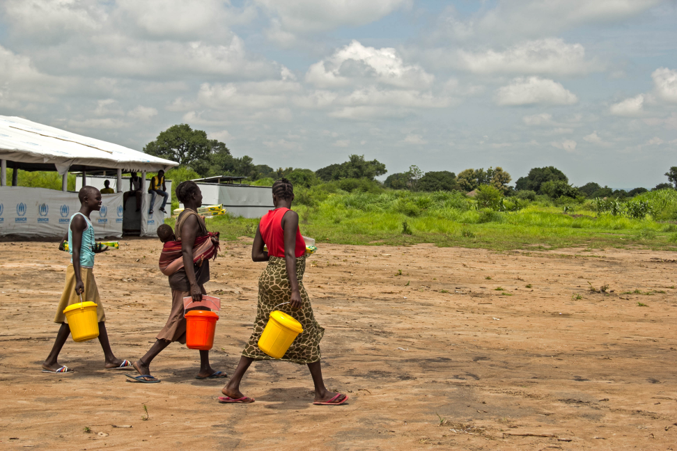


Last week we achieved a bit of a breakthrough on a project that sometimes feels like we are unravelling a long knotted ball of string! We now have a draft target list of countries where the drought insurance mechanism could be piloted.
The idea is to build an index of drought that can work across a sizeable pool of countries (15-20) in order to spread the risk and achieve better pricing. However, which countries we choose depends on a number of factors, including the data available in that country to build an index. You can see a snapshot below of where we ended up…

The first factor to consider was obviously the risk of drought to a particular country. We referred to the excellent recently-launched EU INFORM tool. It is an index which identifies countries at risk from humanitarian crises and disasters that could overwhelm national response capacity. We were able to isolate the hazard of interest to us (drought), and combine it with data on vulnerability and DRR capacity to come up with a loose ranking of countries.
The second element was the accessibility of data with which to build an index. Our partners (GlobalAgRisk) have already begun working with a provider on the task of mapping and building global data-sets that capture daily data from the last 30 years for rainfall, wind speed, max and min temperature, alongside population and land use. They plan to use a regional forecast model to ‘hindcast’ the history of drought and food security, and the same model will be used to provide estimate forecasts in real-time for pay-outs. Some of this work has been started in a number of countries where GlobalAgRisk is already working with an organisation that is part of one of the families of NGOs in our network - Vision Fund. We decided to try to maximise overlap of countries where possible, to keep costs down and achieve some complementarity between the projects.
Lastly the humanitarian members of this partnership were keen that the current major drought and food security early warning and risk mapping sources which we use are part of the picture. For example, the humanitarian community have invested a huge amount in early warning systems like FEWSNET, IPC and HEA, as well as the various government systems across the Sahel and East Africa. Presence of these has also been considered in the country selection process.
Stay updated
Sign up for our newsletter to receive regular updates on resources, news, and insights like this. Don’t miss out on important information that can help you stay informed and engaged.


Explore Elrha
Learn more about our mission, the organisations we support, and the resources we provide to drive research and innovation in humanitarian response.