
A postscript to a pioneering humanitarian project
12
September
2017
Type
Grantee insights
Area of funding
Humanitarian Innovation
Focus areas
Scale
No items found.
Year


It’s only the perspective of hindsight which provides the opportunity to document the outcomes from a successful project. This blog seeks to document some of the initial successes.
What we've achieved
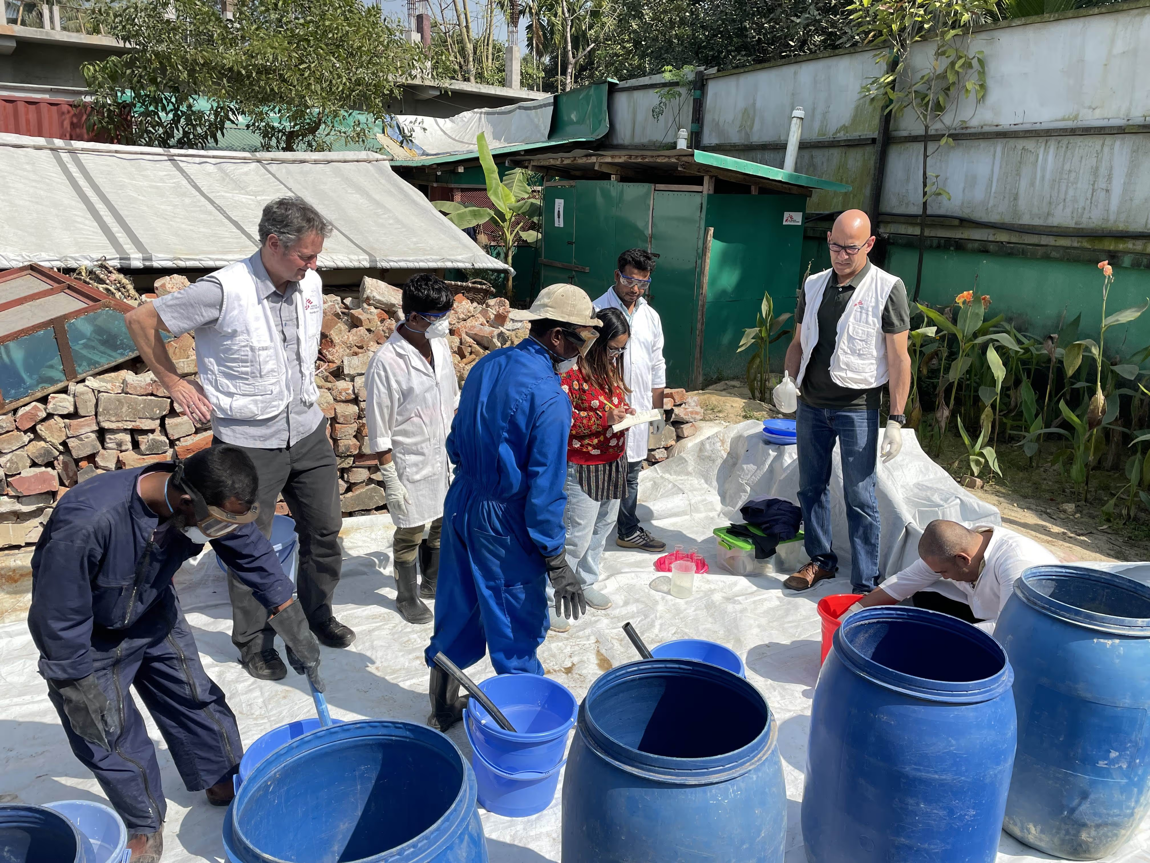
We successfully demonstrated an agile approach to the documentation of endangered heritage in a region affected by conflict. We created a prototype training course for citizen heritage activists to show them how to use aerial imaging to map and model endangered sites – and use the resulting model for conservation records, advocacy and education.
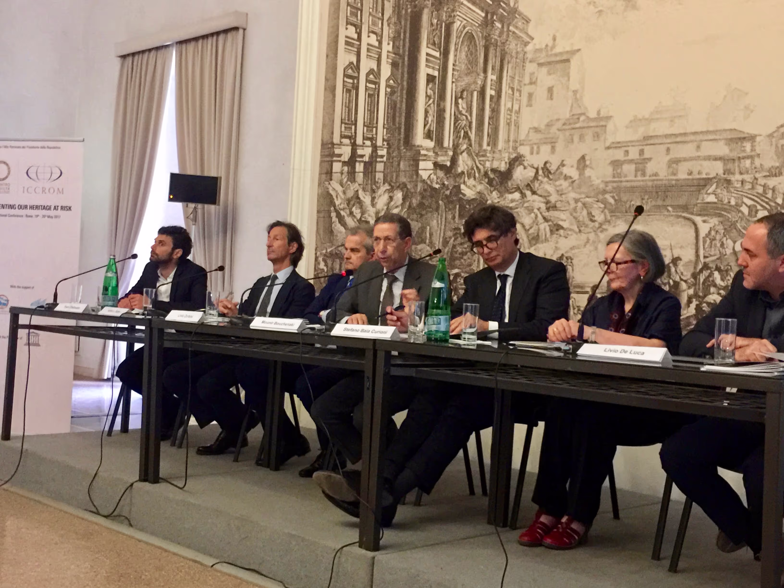
We were invited to present our work at an international summit meeting supported by UNESCO, ICCROM and Incontro Di Civilta, on the protection of heritage in areas of conflict.
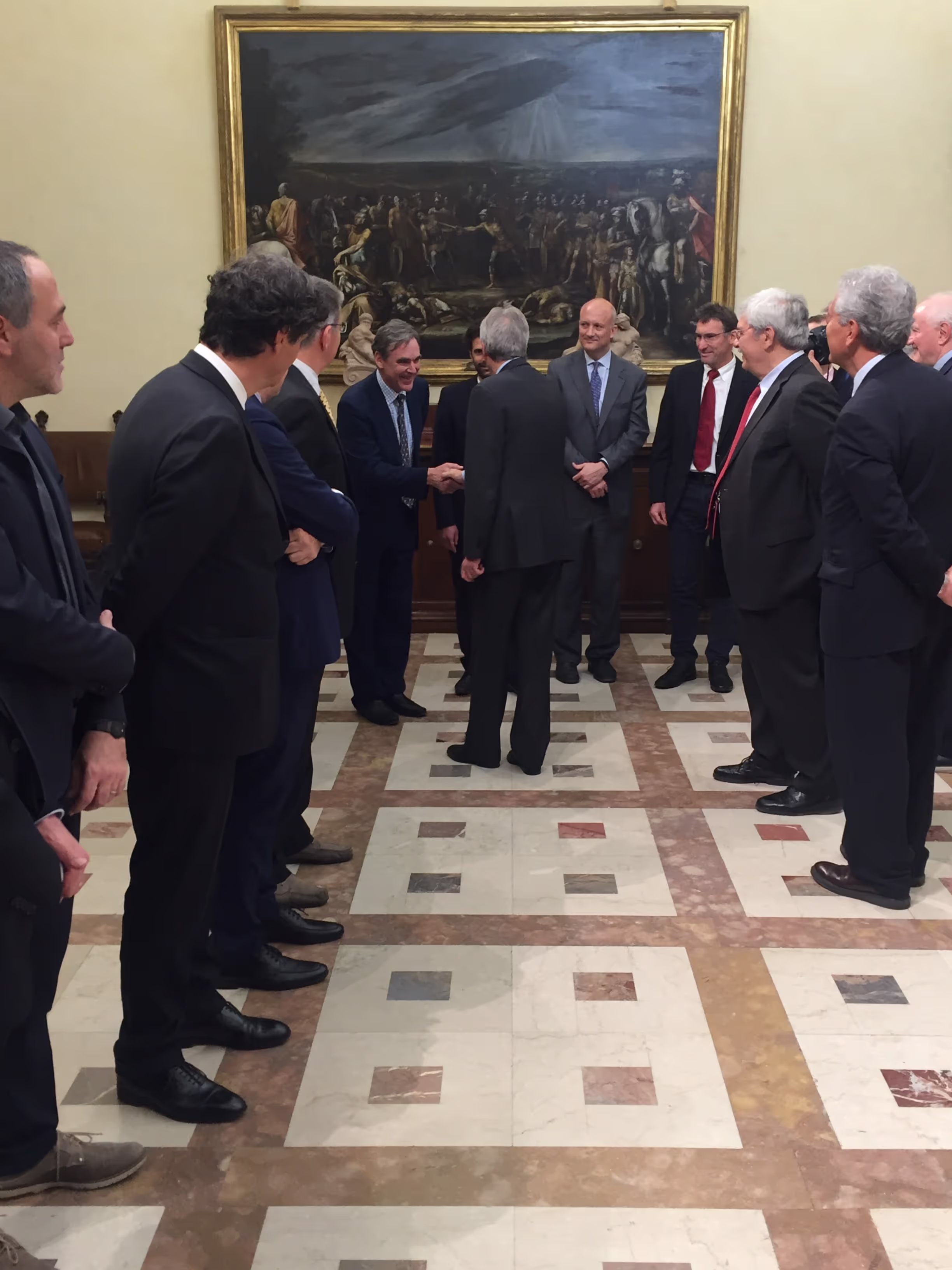
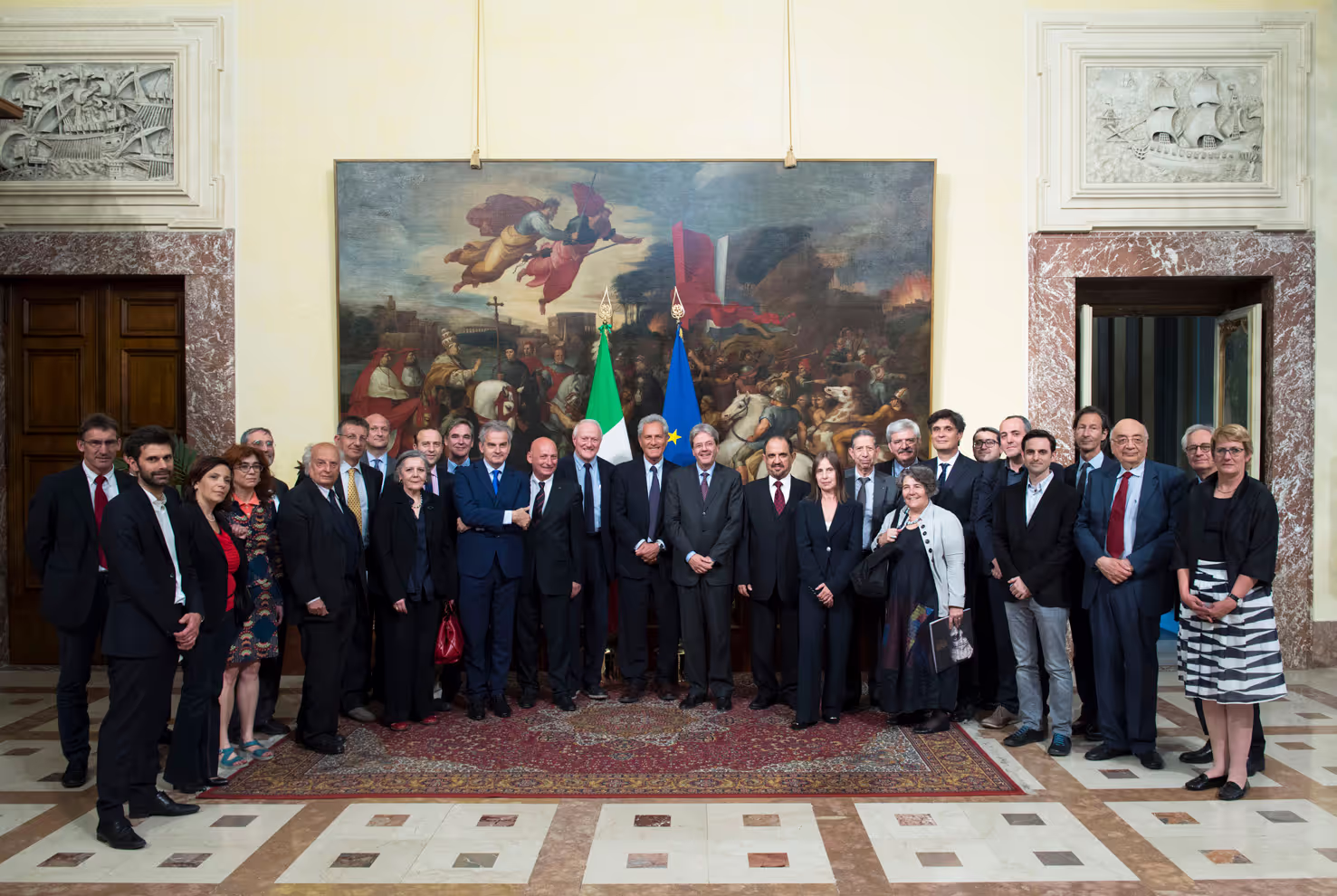
We had a meeting with the Italian Prime Minister which was followed by an international declaration for the international community to be more proactive in documenting endangered heritage. Both the Prime Minister and President of Italy have taken a personal interest in this theme and a declaration was taken to the G7 meeting later that month.
We particularly benefitted from support from the UK Government - particularly the British Embassy in Bamako.
There was recognition that what we had done was pioneering in the engagement with local citizens, the agile approach needed for working in remote or insecure areas, and in the special, spectral and temporal resolution of the data collected.
;
What next?
We are now seeking to create a community of heritage, technology and academic experts to work together to share best practice in conservation, advocacy and education, around the world.
An initial plan is for the creation of a digital exhibition of best practice featuring heritage sites at risks such as Djenne in Mali and as well as sites that have been destroyed and virtually restored, as well as destroyed in Syria and Iraq.
We have been invited to share these insights at a meeting of East Africa heritage experts from Tanzania, Uganda, Ethiopia, Mozambique, Rwanda, Kenya, Somalia, as well as from an island and maritime perspective from Mauritius, Comores and Zanzibar.
We have a proposal to use the approach developed in Mali for the mapping and modelling of key sites in Siwa oasis, Egypt; isolated by the ongoing instability in the region.
This would never have been possible without the support of DFID and the Humanitarian Innovation Fund as well as the team at Elrha.
We are now looking for partners and funding opportunities to continue this work which we believe highlights important humanitarian issues around the importance of culture, identity and resilience; raises challenges in the heritage sector of how to work more effectively in areas affected by conflict; as well as illustrating innovative applications of advances in aerial surveying, digital imaging and data modelling.
No items found.
Stay updated
Sign up for our newsletter to receive regular updates on resources, news, and insights like this. Don’t miss out on important information that can help you stay informed and engaged.

Related articles
all latest news

Elrha insights
Innovating for Impact: Tackling the sanitation crisis in humanitarian settings

Grantee insights
The partnership of the MSQ project
Grantee insights
Language‚ power and aid effectiveness - Journey to Scale
Explore Elrha
Learn more about our mission, the organisations we support, and the resources we provide to drive research and innovation in humanitarian response.